CoastSense AI™
AI Coastal Resilience Digital Twin
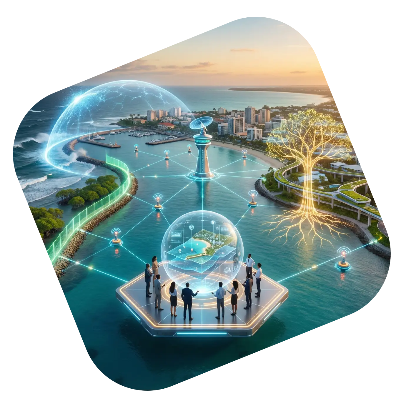
CoastSense AI™ is a powerful digital twin platform that models coastal environments, predicts climate-driven hazards, and supports long-term coastal resilience planning. By combining AI, hydrodynamic modeling, satellite observation, and IoT-enabled coastal sensing, CoastSense AI™ provides a living, interactive replica of coastal systems.
It is designed for coastal cities, port authorities, disaster management agencies, infrastructure developers, and insurers seeking to understand and mitigate risks such as sea-level rise, storm surges, coastal erosion, flooding, and shoreline instability.
CoastSense AI™
AI Coastal Resilience Digital Twin
OVERVIEW
CoastSense AI™ is a powerful digital twin platform that models coastal environments, predicts climate-driven hazards, and supports long-term coastal resilience planning. By combining AI, hydrodynamic modeling, satellite observation, and IoT-enabled coastal sensing, CoastSense AI™ provides a living, interactive replica of coastal systems.
It is designed for coastal cities, port authorities, disaster management agencies, infrastructure developers, and insurers seeking to understand and mitigate risks such as sea-level rise, storm surges, coastal erosion, flooding, and shoreline instability.
Key Capabilities
Digital Twin Modeling of Coastlines
High-resolution simulations of beaches, estuaries, deltas, ports, and flood zones
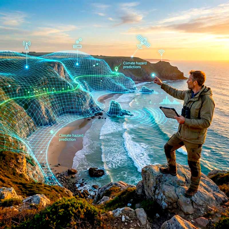
AI-Based Hazard Prediction
Forecast extreme events such as cyclones, high tides, wave surges, infrastructure flooding, and shoreline change
Sea-Level Rise & Erosion Forecasting
Multi-decade scenario projections to guide long-term planning and policy.
IoT-Driven Coastal Monitoring
Real-time data from sensors measuring tides, wave heights, salinity, currents, rainfall, wind speed, and soil moisture
Infrastructure Vulnerability Assessment
Evaluate risk to ports, bridges, coastal roads, industrial facilities, public infrastructure, and residential zones.
Resilience Planning Toolkit
AI-generated adaptation strategies such as seawalls, mangrove restoration, beach nourishment, drainage upgrades, and zoning alignment.
Climate Scenario Visualization
Interactive 3D maps and simulations for public communication and stakeholder decision-making
USE CASES
Coastal city resilience planning
Port and maritime infrastructure protection
Disaster response & early-warning
Coastal zoning, land-use and development
Marine conservation & habitat protection
Climate finance & risk modeling
Benefits
- Reduce climate-related coastal losses
- Strengthen emergency preparedness
- Improve resilience investments
- Enhance coastal infrastructure safety
- Support transparent decision-making
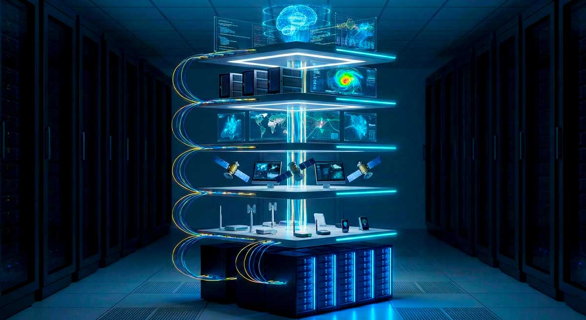
Technology Stack
- Hydrodynamic modeling engines
- Geospatial & 3D mapping
- IoT marine & environmental sensors
- Satellite data analysis
- Machine learning hazard prediction
- Cloud-based digital twin architecture